")
Reclamation Provides Snowmelt Runoff Estimates at Yonts Conference
April 18, 2024
No water allocations are expected for the 2024 growing season, in part due to carryover from the 2023 season.
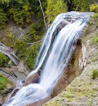
Nebraska Water Facts
April 4, 2024
This online resource highlights groundwater and surface water facts and statistics for the state of Nebraska.
")
Nebraska Extension Hosts Yonts Water Conference in April
March 29, 2024
This year's Yonts Water Conference will include insights on new irrigation technologies, 2024 weather and basin runoff outlooks, plus an update on the Goshen/Gering-Fort Laramie canal tunnel replacements.
")
The North Platte River — Multi-use Water, Part 6
September 1, 2022
Part 6 of Extension Educator Gary Stone's series on the North Platte River features the remaining dams and powerplants in Nebraska and Wyoming.
")
The North Platte River — Multi-use Water, Part 5
August 25, 2022
Extension Educator Gary Stone discusses the history and functions of the Glendo Unit, which controls water use for the Missouri River Basin and generates hydropower for Nebraska, Colorado and Wyoming.
")
The North Platte River — Multi-use Water, Part 4
August 3, 2022
In this installment of the series, Nebraska Extension Educator Gary Stone reviews the history of the Kortes Unit, which was part of a program that managed water use for the entire Missouri River Basin.

The North Platte River — Multi-use Water, Part 3
July 19, 2022
In this installment of the series, Nebraska Extension Educator Gary Stone reviews the history of the Kendrick Project, which resulted in the Seminoe and Alcova dams.

The North Platte River — Multi-use Water, Part 2
July 7, 2022
The second article in Nebraska Extension Educator Gary Stone's six-part series on the North Platte River features history on the Pathfinder, Guernsey and Whalen dams.