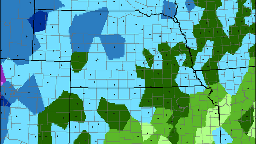
Statistics provide an idea of when to expect the first 28°F and 32°F freeze events. Topography, elevation, wind, and moisture, among other factors may impact the likelihood of reaching these temperature thresholds on a local scale in any given year. This data is based on 30 years (1981-2010) of station data from the Midwest Regional Climate Center. The statistics use 10-day time frames and are generalized over regions of Nebraska. Specific stations and locations may deviate from the average in the region.
The northwest (NW) and southeast (SE) regions of Nebraska typically represent the earliest to latest fall freeze range. It can be assumed areas in-between follow the northwest to southeast gradient.
28°F Freeze
- 10% of years by Oct 1-10 in SE and by Sept. 11-20 in NW
- 50% of years by October 11-20 in SE and by Oct. 1-10 in NW
- 90% of years by Nov 1-10 in SE and by October 11-20 in NW
32°F Freeze
- 10% of years by Sept. 21-30 in SE and by Sept. 11-20 in NW
- 50% of years by Oct. 1-10 in SE and by Sept. 21-30 in NW
- 90% of years by Oct. 21-31 in SE and by Oct. 1-10 in NW
2011-2017 (seven-year average)
A quick look at a smaller and more recent set of data shows similar averages for northwest Nebraska, but slightly later freeze thresholds in southeast Nebraska (using 8-10 stations for region averages).
28°F (seven-year average)
- 50% by Oct. 21-31 in the SE and by Oct. 1-10 in the NW
32°F (seven-year average)
- 50% by Oct. 11-20 in the SE and by Sept. 21-30 in the NW

