
As crops enter peak water-use periods in July, irrigation management becomes increasingly important. Crop water use — or evapotranspiration (ET) — is typically highest during reproductive growth stages for crops such as corn, soybean and grain sorghum. However, water demand varies depending on crop growth stage and environmental conditions, including temperature, humidity and wind.
Because weather patterns, planting dates and crop development differ across Nebraska each year, crop water use can vary significantly by location and season. University of Nebraska-Lincoln tools can help producers track crop water use and growth stage development, providing information to support more precise irrigation scheduling and management decisions.
CropWatch Weather Resources

CropWatch launched its new GDD/ET Tool in 2022, a user-friendly online tool that calculates growing degree days (GDD) and ET information for all Nebraska Mesonet locations, with multiple crops and emergence dates per site.
The CropWatch Weather Resources section also includes charts that can be used with ET gage readings to determine ET at various growth stages.
Other CropWatch weather resources include daily updates of tables and maps of precipitation and soil temperature data for Nebraska and links to the Nebraska Rain Network, a reporting tool for growers across the state.
CropWatch also includes links to the Useful to Usable website. It provides crop-based climate information for the Corn Belt, including historical and projected GDD and climate data. Funded by USDA, Useful to Usable is a multi-state, multi-disciplinary effort of researchers studying climate variability and change with respect to agriculture. The High Plains Regional Climate Center is one of its partners.
For help accessing or using CropWatch resources, contact us at 402-472-7981
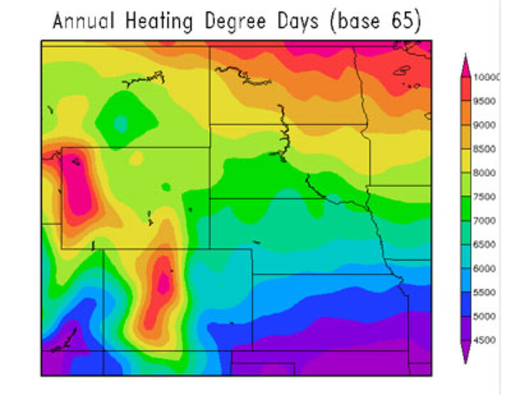
High Plains Regional Climate Center
The High Plains Regional Climate Center (HRPCC) website offers a range of climate data and tools, including free resources through CLIMOD II and fee-based services through a Classic Online account.
With a Classic account, you have access to the entire Automated Weather Data Network (AWDN) data set, as well as the National Weather Service Cooperative Weather Network. It is mainly built for users who want to retrieve data on a regular or semi-regular basis. You get temperature data (highs and lows), relative humidity, soil temperature at 4 inches, wind speed, evapotranspiration (ET), solar energy, and precipitation data. You can also get heating degree days and crop dependent reports (corn, alfalfa, soybean, wheat, grass, sorghum, dry beans, etc.) to help monitor crop growth and predicted crop growth. It can send daily, weekly, or monthly emails with your data.
A Classic account costs an initial $100, which gives you 400 minutes. This lasts most users two to three years. The minutes used are calculated according to how much time it takes the computer server to retrieve data.
A CLIMOD account is free; however, information options are a little more limited. You do not get access to AWDN stations, ET data or wind data. Most people use it to get temperature and precipitation data. You can also retrieve GDD, HDD and CDD data. This site records climatological averages for a station and record extremes for temperature and precipitation for certain stations.
For help accessing or using HPRCC resources, contact HPRCC, (402) 472-6706.
