Producers who need to acquire or renew a private pesticide applicator license will have a number of options in 2023. To certify for a new license or recertify an existing one, the following options are available:
- Attend a face-to-face training session,
- Complete an online self-study program, or
- Pass a private applicator exam administered by the Nebraska Department of Agriculture (NDA).
In addition, private licenses can be recertified by attending a Crop Production Clinic.
After completing one of the above options, the NDA will mail you a postcard requesting payment of a $25 licensing fee. Once the licensing fee is paid, a three-year license is issued.
Dates, locations, and registration information for 2023 face-to-face training sessions are listed online. Please note that additional training sessions may be added to this list as time goes forward. When selecting a training session from the list, be sure to check the rightmost column of the table for pre-registration instructions for each session.
For the online private self-study program, please visit https://pested.unl.edu on or after Jan. 1, 2023.
Background
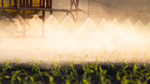
The U.S. Environmental Protection Agency (EPA) classifies pesticide products as restricted-use pesticides (RUP) if they pose an increased risk to human health or the environment. To purchase and use RUPs, a person must be certified/licensed by the state where they will be using the products. Nebraska Extension provides the pesticide safety training required to become certified/licensed. In Nebraska, applicator licenses last three years and must then be renewed.
A private applicator license allows a person to apply RUPs to property owned or rented by them for the purpose of producing agricultural commodities. It also allows them to apply RUPs to the property of another producer on their behalf, as long as there is no compensation other than trading of personal services.
Important Changes
Both new and recertifying applicators need to be aware of changes to Nebraska’s applicator certification/licensing program:
- The minimum age to be a certified applicator is now 18 years. Noncertified applicators cannot use RUPs. (A limited exception exists for immediate family members of certified private applicators. Please contact NDA for more information.)
- New and recertifying applicators should be prepared to present government-issued identification (e.g., a driver’s license) at training.
- The appearance of private applicator licenses will be updated. They will now be a tan color and will be printed with “General Agriculture” and “00” on them to denote “standard” private certification.
- Private applicators who wish to use RUP fumigants in their operation will need “standard” private applicator certification AND a fumigation certification. To use soil fumigants, an applicator must pass NDA’s Soil Fumigation exam; if this certification is obtained, it will appear on the license as “01A.” To use fumigants for grain bins or rodent burrows, an applicator must pass NDA’s Non-Soil and Structural Fumigation exam; if this certification is obtained, it will appear on the license as “11.” The Pesticide Education Office recommends preparing for these exams with its study manuals. Hard-copy manuals and their enhanced digital versions (“FlipBooks”) can be ordered online.
- Private applicators who wish to apply RUPs aerially will need to acquire a commercial/noncommercial applicator license with the Aerial Pest Control category.
These changes are being phased in over a three-year period (2022-24) as applicators come up for recertification. For example, a private applicator whose license expires in 2024 can continue applying fumigants without a fumigation certification until he/she recertifies in 2024. For questions on these changes, please call the NDA at 402-471-2351 or the Pesticide Education Office at 402-472-1632.
Not Sure Where to Start?
This online tool can help you determine if you need a license, which type of license you need and how you can get it.
Other Pesticide Training You May Need
Chemigation is the practice of applying agrichemicals (including pesticides) to cropland through an irrigation system. In Nebraska, this practice requires training and certification every four years.
XtendiMax®, Engenia® and Tavium® are RUPs containing dicamba that can only be used on dicamba-tolerant soybean and cotton crops. In addition to requiring a pesticide applicator license, you must also take yearly dicamba-specific training before purchasing or applying any of these three herbicides. The products’ registrants (Bayer, BASF, and Syngenta, respectively) will provide this training. For more information on RUP dicamba, please visit the NDA’s website.
Paraquat is an herbicide that is acutely toxic to humans; all products containing paraquat are RUPs. In addition to requiring a pesticide applicator license, you must take paraquat-specific training (every three years) to purchase or apply paraquat products. This paraquat training is available for free on the Extension Foundation Online Campus and can be completed at any time.
