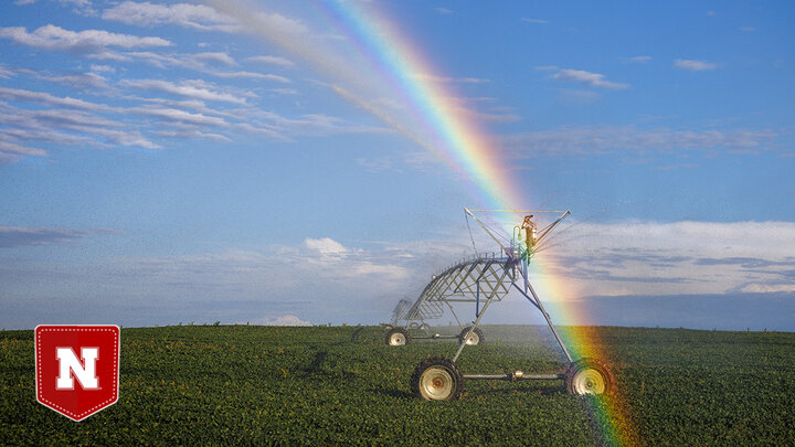
In the August 2025 Second Tuesday at 9 webinar, Nebraska Extension Meteorologist Eric Hunt explains why 2025 yield prospects look good — but not record-smashing — after a cloudy, humid six weeks.
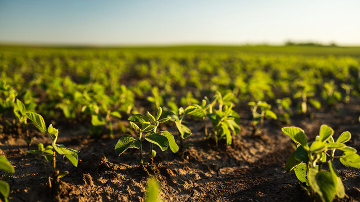
- Big picture: Drought has eased across much of Nebraska and the western Corn Belt; soils are generally moist and rangeland is improved.
- What it means for crops: Clouds, humidity and disease pressure (tar spot, southern rust, white mold) may trim the highest yield hopes, but heat units are on track to finish.
- Next 10 days: Heat arrives in pulses, not long waves; storms favored along and north of I-80 with better rain chances for eastern Nebraska and Iowa.
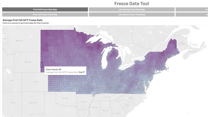
- Fall outlook: Tilt toward warmer-than-average; precipitation is mixed with some drought risk creeping into the central Plains. No early fall freeze signals yet.
Watch the webinar for the full forecast details, yield outlook maps, and Eric’s fall weather insights.
A Nebraska Extension service, Second Tuesday at 9 is free to the public, and the next webinar will kick off at 9 a.m. Tuesday, Sept. 9. Register online to attend.