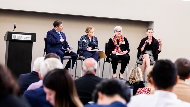
Geographic Information Systems (GIS) are more than maps — they’re digital tools that help farmers and ag professionals visualize data about their land, from soil and yield to topography and water flow. Ahead of the 2025 Nebraska Precision Agriculture Conference, a free workshop in Grand Island will introduce participants to GIS fundamentals and real-world applications through interactive sessions with Nebraska-based experts.
Hosted by the Nebraska GIS/LIS Association, the GIS workshop will begin at 6:30 p.m. Thursday, Nov. 20, at the Hall County Extension Office, 3180 US-34 Hwy, Grand Island. Participants will have the chance to see how these tools are being applied across industries — including agriculture — to solve real-world challenges and improve efficiency.
Designed to help attendees strengthen their spatial thinking and explore how GIS connects data, people and places, the workshop sessions include:
- “Thinking Spatially" — introducing the fundamentals of geographic intuition.
- “Understanding Impact” — highlighting how geospatial analysis supports decision-making in fields such as environmental sustainability and urban planning.
- “Local Opportunities to Engage” — connecting participants with community data resources and networks.
- “Spatial Education and the Future” — exploring how emerging technologies are shaping the next generation of GIS professionals.
Instructors:
- Kurt Elder — Certified AICP and GISP professional, and urban planner with over 15 years of experience in community development, socio-economic research, and data-driven planning with the city of Lincoln and nonprofit partners.
- Noah Berkowitz — GIS manager for the city of Fremont and Ph.D. student at the University of Nebraska–Lincoln. His background includes GIS and planning research, automation projects, and geospatial analysis for public health and environmental applications.
- Casey DunnGossin — GIS Solutions engineer and former Nebraska GIS coordinator with extensive experience in statewide geospatial coordination and education.
This free workshop will give attendees an opportunity to explore mapping and spatial analysis in an interactive setting. Pre-registration is available online. For more information about this GIS Workshop, contact Kurt Elder, 402-441-7874.
And don’t forget to join us for the second annual Nebraska Precision Agriculture Conference the next day, Friday Nov. 21 at Hall County Extension Office. Participants are encouraged to register by Wednesday, Nov. 19.
If you are seeking additional information on the conference, contact Dirk Charlson, 402-460-0742 (call/text).