Powerful Storm Entering the State
There's an old saying regarding March — if it comes in like a lamb, it's going to go out as a lion. Well, it's not March but the saying is fitting for the weather this week. It has been beautiful this week across the state with sunshine and temperatures in the 60s and 70s, and even a few 80-degree readings in southwest Nebraska this past Sunday. Changes are coming, however. Exactly what will transpire is still a bit uncertain, but some things are coming into focus better.
First, a warm front will be moving through the eastern half of the state tomorrow night and may produce some elevated convection along it. The high-resolution models are not currently too bullish on it, but if you live east and south of David City, there is a non-zero risk of waking up in the night to a thunderstorm. No real risk of severe weather, it appears.
Second, a strong trough and associated jet streak will be entering the region by Thursday morning. There appears to be growing consensus about a surface low moving from eastern Colorado into southwestern Nebraska, which would likely mean a broad area of moderate to heavy rain Wednesday night, Oct. 11 and Thursday morning, Oct. 12 along and north of I-80 ahead of another warm front. Rainfall amounts from this round could exceed two inches in parts of northeastern and north-central Nebraska. Lowest amounts currently look to be along the Kansas border.
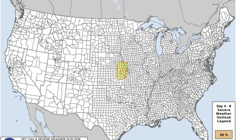
Things start getting even more fun as we enter the day on Thursday, Oct. 12. As the low deepens and moves into the Sandhills, the setup looks favorable for the potential of severe storms in the form of a mesoscale complex across the eastern third of Nebraska late afternoon to early evening on Thursday. Primary risks if this comes to fruition would be damaging winds and hail, though an isolated tornado cannot be ruled out. Severe weather risk currently looks highest from Seward into western Iowa and down into northeast Kansas. Further to the north in the northeastern quadrant of the state, the severe risk looks a bit lower but there is a risk of heavy rain. Depending on how much rain falls in the 24-hour period before, there may be some small risk of flash flooding.
On the backside of the storm in the Panhandle and west north-central regions, expect a cold rain and a stiff wind from the east-northeast. The European model also suggests there could be a period of moderate to heavy snow from Hay Springs over to Harrison on Thursday afternoon. There is not a ton of deep cold air to work with, but the dynamics of the storm may allow profiles to cool enough to produce periods of heavy, wet snow in the northwest corner of the state. This may not happen, but I would prepare for that possibility. Thursday also could be one of those fall days where we have a 50°F-plus temperature gradient from northwest to southeast as the warm sector in southeastern Nebraska could see temperatures shooting into the 80s.
As the low starts to move east on Friday, Oct. 13, the entire state will be in the cool, raw sector. The pressure gradient looks impressive, and winds will be fairly strong for a prolonged period of time on Friday into Friday evening. Wind gusts over 50 mph will be possible in parts of eastern Nebraska, and northwest winds will likely be sustained in the 25-30 mph range for several hours. Areas east and north of Grand Island also have the possibility to pick up more moisture in the form of showers. Temperatures will also be on the raw side in the 40s and low 50s in much of the state Friday afternoon; perhaps a bit warmer toward Nebraska City and Falls City. All in all, not a great day to plan outdoor activities.
Best advice is to pay attention to your local forecast in the next few days for more details on the potential for severe storms, flash flooding or snow.
