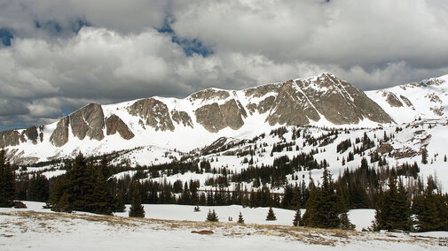
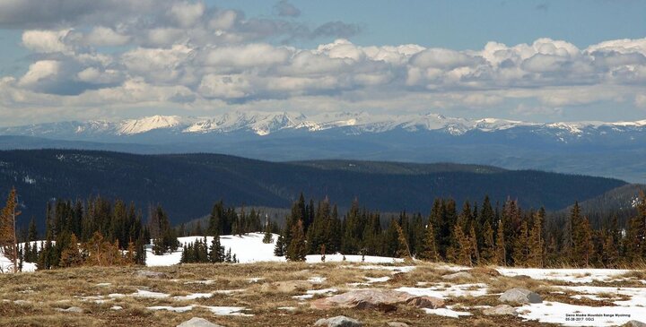
After good precipitation over the winter and spring, most of the reservoirs in the North Platte River basin in Wyoming are at or near capacity with more snowmelt/runoff still expected.
A little refresher on the North Platte River basin. The North Platte River basin in Wyoming is approximately 22,000 square miles, about one quarter of the state. It is made up of several smaller sub-drainages: the Upper North Platte, Sweetwater, Lower North Platte, and the Laramie River. In addition, a small portion of the South Platte River drainage is in southeast Wyoming. Water from these drainages eventually makes its way into Nebraska.
As you can see in Table 1, there is a fair amount of snow water equivalent that equates for above normal percent of total precipitation for this time of year.
Reservoirs
The reservoir system in Wyoming along the North Platte River is made up of seven reservoirs (from west to east): Seminoe, Kortes, Pathfinder, Alcova, Gray Reef, Glendo and Guernsey.
Table 2 shows most of the reservoirs at or near capacity, with additional snowmelt/runoff yet to occur. A typical snowmelt run-off is around 700,000 acre-feet. There is enough water in the reservoirs at this time for an average irrigation run. Earlier this month, some irrigation water districts in the valley started to take water into their systems. This was used to irrigate alfalfa as well as to divert water from the river to avoid potential flooding.
Kortes and Gray Reef reservoirs regulate the flow from Seminoe and Alcova, respectively; they do not have much storage capacity. Glendo, with a capacity of about 900,000 acre-feet, is the main flood control reservoir on the system. If there are major releases of water upstream, there is approximately 400,000 acre-feet for “flood pool” storage.
| Drainage | Snow Water Equivalent (% of Median) | Total Precipitation (% of Average) |
|---|---|---|
| Upper North Platte | 137 | 114 |
| Sweetwater | 836 | 171 |
| Lower North Platte | - | 105 |
| Laramie River | 146 | 111 |
| South Platte River (Wyoming) | 165 | 116 |
| Reservoir | Total Capacity (Acre-Feet) | Current Level (Acre-Feet) | PerCent of Total |
|---|---|---|---|
| Seminoe | 1,017,273 | 838,257 | 82 |
| Kortes (regulating) | 4,739 | 4,729 | 100 |
| Pathfinder | 1,070,000 | 1,011,014 | 95 |
| Alcova | 184,405 | 180,278 | 98 |
| Gray Reef (regulating) | 5,332 | 5,328 | 100 |
| Glendo (Flood Pool) |
492,022 (400,000) |
487,478 | 99 |
| Guernsey | 45,612 | 30,443 | 67 |
More Information
For more information on the North Platte River Surface Irrigation Projects and Power Generation, view the slideshare presentation on the University of Nebraska-Lincoln Panhandle Research and Extension site. Also see Bureau of Reclamation water operations information and snow water content graphs.
