Soil Moisture Update
July 27, 2015
| Table 1. Average Soil Moisture Index by USDA NASS Crop District. (Districts and EPA Ecoregions Defined) The number in parentheses shows the change from the previous week. | ||
| Northwest | - 1.3 | (-0.4) |
| North Central | -0.0 | (-0.5) |
| Northeast | -1.1 | (-1.2) |
| Central | -0.1 | (+0.2) |
| East Central | 0.9 | (-1.0) |
| Southwest | -1.0 | (-0.5) |
| South Central | -1.6 | (-0.9) |
| Southeast | 0.5 | (-0.9) |
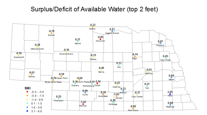
| *The Soil Moisture Index (SMI) is based on the estimated field capacity and wilting point at three depths (10 cm, 25 cm, 50 cm) at Automated Weather Data Network (AWDN) sites under grass cover. The index may not necessarily be representative of conditions of a nearby field, particularly if differences in total precipitation over the previous week have been significant. | ||
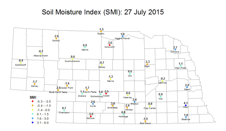
It took until the end of July, but we finally have a report where the statewide SMI is below 0.0. Count this author among those who would have preferred it not happen at all this season. Drier conditions in recent weeks combined with periodic spells of hot weather have led to declines in soil moisture across the state. At the beginning of the month, every NASS crop reporting district had an average SMI that was safely above 0.0. Now, as we head toward the end of the month, only two crop reporting districts are above 0.0 (east central and southeast), and both of those will be below 0.0 if their average decreases at the same rate as last week. Only the central district didn't decline from last week to this and the increase there was marginal.
Most of the eastern sixth of the state is relatively moist, especially around Firth where the SMI this week is 4.1. West of Highway 15 individual stations that are fairly moist, but no other area of Nebraska except for the eastern sixth could be considered truly moist at this point.
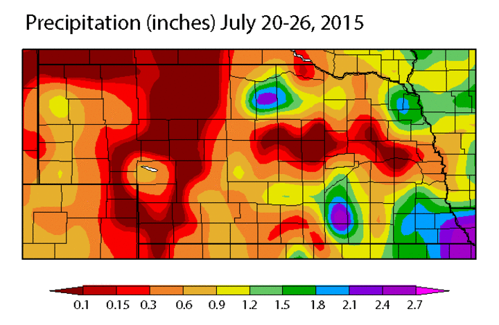
This is also the time of year when the effect of convective rainfall can be seen most clearly. For example, the site at Curtis in southwest Nebraska has picked up more than 3.5 inches of rain over the past two weeks and has an SMI of 2.6. Meanwhile, about 30 miles away in McCook, no effective precipitation has fallen (i.e., precipitation that moistens the soil profile) and the SMI is now down -5.0.
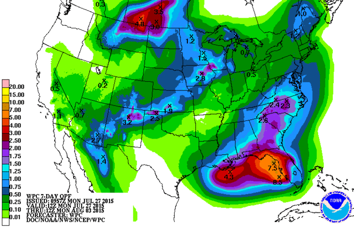
A cold frontal passage on Tuesday is expected to generate precipitation over the eastern sixth of the state where moisture is most plentiful. However, the entire state looks to have some chances for precipitation over the next week and temperatures should be seasonal. Thus, moisture losses should not be as significant as they were earlier in the month.
Eric Hunt
High Plains Regional Climate Center